CENTEGIX Safety Blueprint
Digital Critical Incident Mapping for Emergency Response
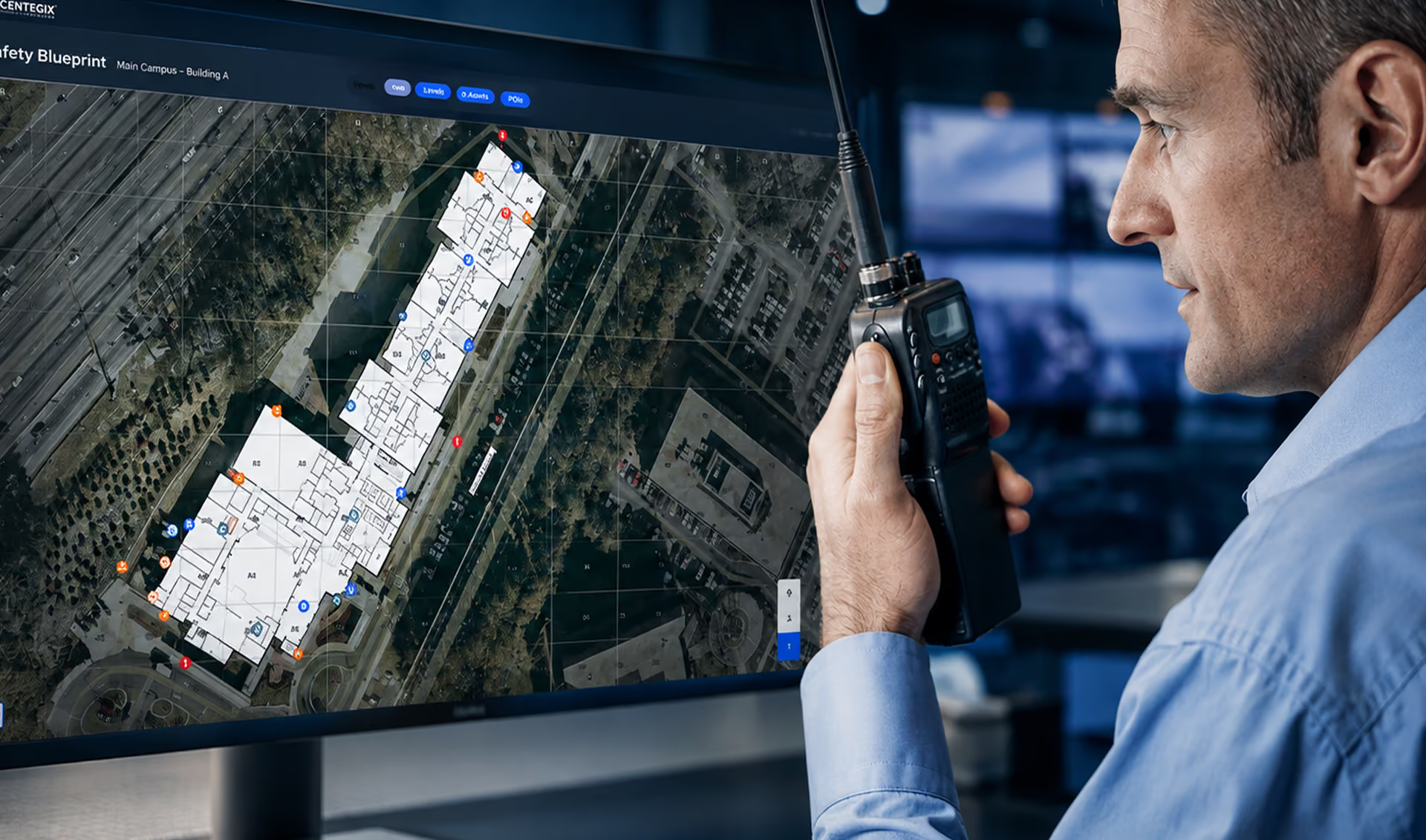
Digital campus and asset maps streamline communication and response time for schools, healthcare and government facilities, and commercial businesses and workplaces in emergencies—from the everyday to the extreme.
Why it matters
Say Goodbye to the Old Way. Say Hello to a Better Way.
Without updated critical incident maps, your safety is at risk. But manually updating all the information for your buildings and assets, especially at a multi-location level, is laborious and time-intensive, making it easy to fall behind on this vital safety protocol.
High-quality, dynamic maps are critical to almost every public safety application. With Safety Blueprint, organizations own their maps and mapping data, enabling them to quickly and securely share their assets across public safety applications and mapping platforms without additional expense or vendor lock-in.
One map, every detail
Digital Critical Incident Mapping for Enhanced Safety Planning and Preparedness
Every building and asset in one place, for efficient and rapid response.

CENTEGIX Safety Blueprint®

Be ready for emergencies

Rapid emergency response

A single source of truth for asset management
What you gain
Get More from Your Critical Incident Maps
The only dynamic digital mapping solution built for organizations that own their data.

Reduce Response Time

Understand Severity

Visualize Assets

Streamline Inventory

Track Every Detail

Maintenance Alerts

Meet Legal Requirements
Discover the Features of Safety Blueprint
Prepared for Every Emergency
Prepared for Every Emergency
From disconnected and disparate to connected and cohesive, digital mapping saves lives.
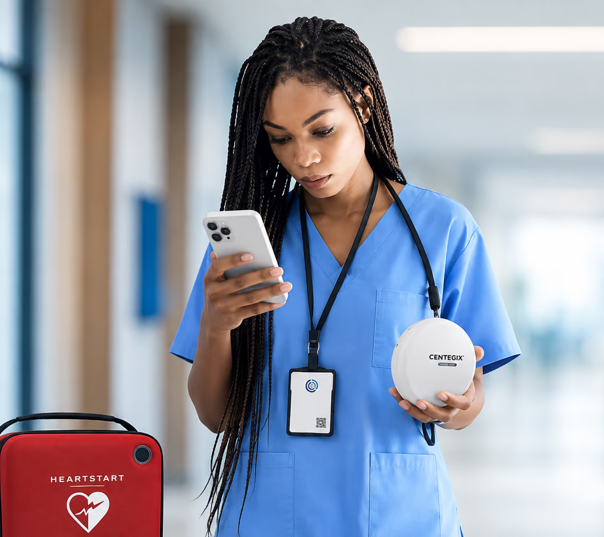
With CENTEGIX Safety Blueprint, first responders have immediate access to relevant building and asset information, lessening their response time to emergencies.
Built for Every Team
All Departments Benefit
Structured layers streamline every team and department.
Emergency Planners
Users can define zones, update room names and numbers, evacuation routes, evacuation and reunification staging areas, and shelter operations by color shapes on the map.
Safety & Facilities
Designated safety and facility users can add or update safety information as the facilities' structures and assets evolve while providing a comprehensive view of their resources including utility shutoff locations, campus security resources, IT resources, evacuation points, and other user-defined information.
Security Planners
Add assets, pictures, and information about existing assets and create scenarios to support improvement requests for additional security measures.
Safety Blueprint is Integral to CENTEGIX’s Layered Approach to Safety
Ready to Get More From Your Maps?
Your questions, answered
FAQs
What is digital mapping?
Why is a user-editable digital map better than a “leased” map?
User collaboration: Multiple users can contribute to the map, share valuable information, and collaborate on keeping the map accurate and comprehensive.
Cost-effective: With a user-editable map, there’s no cost to make updates. Conversely, with “leased” maps, you will incur costs every time you need a third party to make an update.
What are ways to use CENTEGIX Safety Blueprint?
• To store your evacuation maps for ready access.
• To plot your reunification points.
• To access critical infrastructure and assets including utility rooms, fire extinguishers, fire alarms, first aid kits, AEDs, and gas shut-off valves.
• To collaborate with safety experts, emergency responders, and department heads to develop a comprehensive emergency preparedness plan.
• To familiarize staff with the building’s layout and safety equipment locations.
• For new construction or temporary building planning and installation.
Proven where it matters most
Real people. Real outcomes.
Education
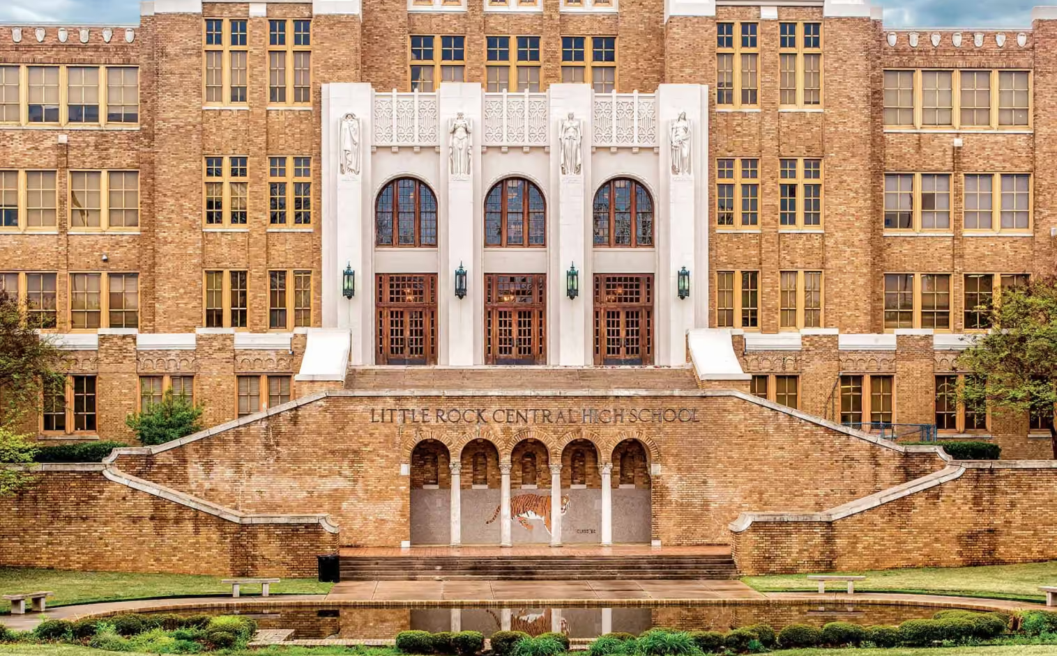
Little Rock School District: Gains Full Staff Adoption
See how Little Rock School District tripled staff adoption of its safety solution, empowering more employees to quickly call for help and strengthening emergency preparedness across the district.
Read more
Healthcare
Improving Workplace Safety and Patient Care with CrisisAlert: Vail Health Behavioral Health’s Journey
See how Vail Health strengthened workforce safety, improved emergency response, and created a safer environment for staff and patients with a connected safety solution.
Read more
Education
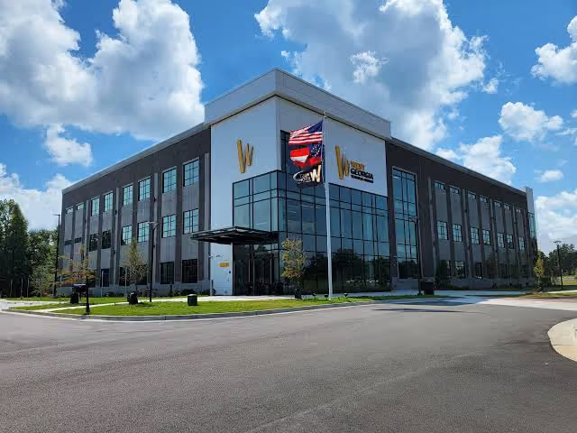
West Georgia Technical College Takes Campus Safety Seriously and Saves Lives Because Of It
See how West Georgia Technical College strengthened campus safety with a connected emergency response solution that helps staff quickly call for help, improves situational awareness, and supports faster response when seconds matter.
Read more
See it for yourself
Schedule a Custom Demo
See how one connected platform empowers your staff to act in seconds — from everyday emergencies to the extreme. Tell us about your organization, and we'll build the demo around your world.