CENTEGIX Safety Blueprint® is an intelligent critical incident mapping solution that helps schools optimize incident response, safety planning, and visitor management. Built to be easy to access and easy to share, Safety Blueprint keeps staff and students safe by equipping schools with accurate, precise information about the location of safety assets and accelerating response during crisis events.
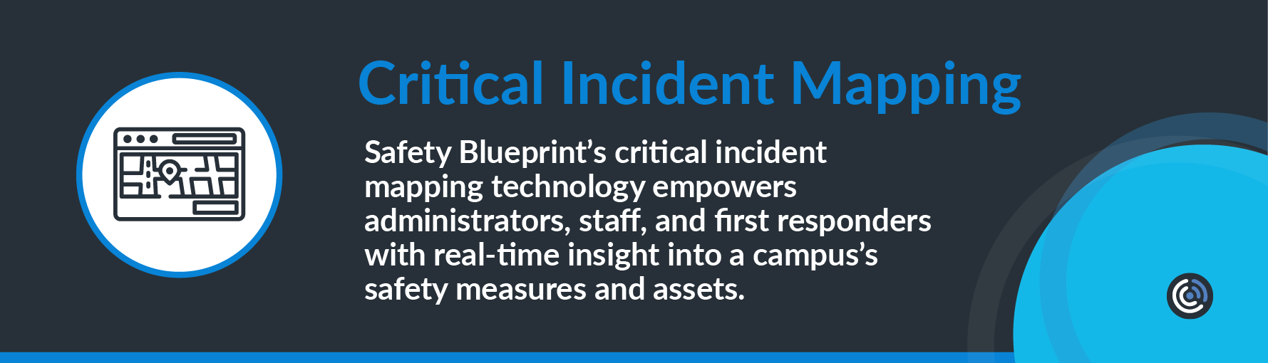
Safety Blueprint’s critical incident mapping technology empowers administrators, staff, and first responders with real-time insight into a campus’s safety measures and assets.
- When staff members initiate an alert with their CrisisAlert™ mobile panic button, their location is visible to first responders on the Safety Blueprint intelligent map. Emergency personnel can respond directly to an emergency site, thus accelerating response times.
- The Safety Blueprint digital map makes a school’s safety assets visible. These include automated external defibrillators (AEDs), fire alarms, fire extinguishers, first aid kits, evacuation points, and other data critical to quick emergency response.
With Safety Blueprint, first responders can instantly pinpoint the locations of people and safety assets and, as a result, do not waste time tracking down necessary equipment or information. Instead, responders know exactly where to go for the resources they need when a critical incident is underway.

An Accessible and Shareable Digital Mapping Solution
A school’s digital incident map must be accessible to administrators, staff, and first responders. It is most effective when it works in conjunction with the school’s incident response solution. Any time a staff requests help using their CrisisAlert mobile panic button, these alerts are visible on the Safety Blueprint map. School administrators, therefore, have real-time data that informs their decision-making. Unlike a static map, Safety Blueprint lets safety personnel see what is happening on school property anytime. Rather than relying on a paper map, schools equipped with Safety Blueprint can locate alerts in progress and document incident response as it happens.

The CENTEGIX Safety Platform® with Safety Blueprint: the Center of Safety
The CENTEGIX Safety Platform is the center of a school’s multilayered safety plan. Safety Blueprint is part of the suite of CENTEGIX solutions that reduce response times and enable schools to comply with state and federal safety regulations.
The CENTEGIX Safety Blueprint critical incident response map performs the following functions:
- displays the precise location of emergency incidents in real time
- provides precise locations of safety assets including automatic defibrillator devices (AEDs), first aid kits, fire alarms, fire extinguishers, and other emergency equipment
- shows evacuation routes
- provides visual data about a school’s entire campus and facilities
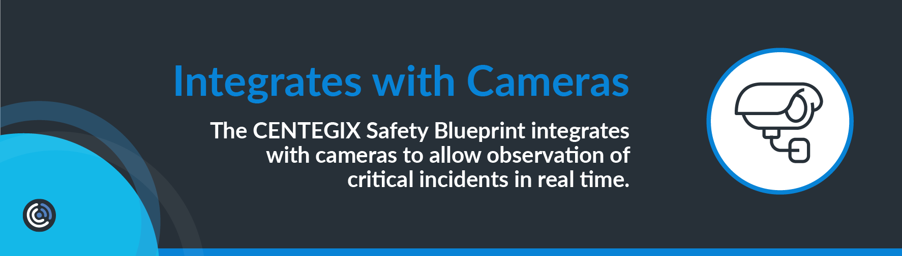
- integrates with cameras to allow observation of critical incidents in real time
- enables schools to publish floor plan changes anytime, eliminating the time and expense of using an outside vendor
- helps schools meet and exceed legal requirements for maintaining critical incident maps
CENTEGIX Safety Blueprint puts up-to-date information directly into the hands of first responders so they can quickly and effectively help everyone involved in an emergency.
A Centralized Information Hub
The Safety Blueprint critical incident map is a hub of information for a school’s IT team, facilities personnel, administrators, and staff. Safety Blueprint enables sharing of maps beyond just school personnel and first responders extending the ability to share your maps with contractors, vendors or others who need access.
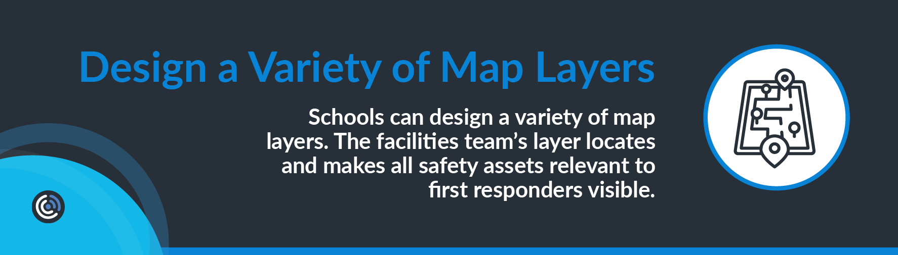
Schools can design a variety of map layers. The facilities team’s layer locates and makes all safety assets relevant to first responders visible. It also facilitates accurate record-keeping. Safety Blueprint technology allows schools to keep precise records of safety assets; this information is useful when updating and inspecting equipment and undergoing safety audits. Because Safety Blueprint is constantly updated, facilities personnel are no longer tied to messy spreadsheets and can avoid inadequate version control.
Digital Mapping Aids in Reunification
Reunification sites are featured on the Safety Blueprint dynamic map. When a critical incident requires evacuation, students and staff must know where to go to reunite. These locations are visible to staff members to maintain calm and control.
Full-Campus Coverage
Safety Blueprint is a digital map of a school’s entire campus. Map coverage includes the main building or buildings and other, less centralized locations. These include bus garages, field houses, sheds, and grounds buildings. Outdoor areas, including evacuation zones, parking lots, and playgrounds, also appear on the Safety Blueprint map.
CENTEGIX Safety Platform: The Center of Your Organization’s Multilayered Safety Plan
The suite of solutions included in the CENTEGIX Safety Platform enables schools to accelerate their critical incident response and create an all-encompassing culture of safety.
- The Safety Platform’s private, managed Safety Platform network mitigates risk by not relying on Wi-Fi or cellular connectivity.
- CrisisAlert wearable panic buttons empower staff to quickly and discreetly get help from administrators and first responders.
- Safety Blueprint’s critical incident map shows the precise location where help is required.
- Safety asset locations and other information relevant to first responders are updated and visible to first responders on the Safety Blueprint dynamic map.
- CENTEGIX Visitor Management enables schools to monitor who is present on school property and to permit only authorized visitors.
- CENTEGIX Reunification protocol allows schools to reunite staff, students, personnel, and parents quickly in an emergency.
Safety Blueprint: Easy to Implement
Schools implementing the CENTEGIX Safety Blueprint receive guidance and customer support from school safety solutions experts. CENTEGIX personnel initially set up a school’s Safety Blueprint solution. CENTEGIX experts can create a school’s initial digital maps and train onsite staff to make updates and changes. CENTEGIX school safety experts can assist administrators in implementing and maintaining the Safety Blueprint dynamic digital map.
Transmits Alerts in Real Time
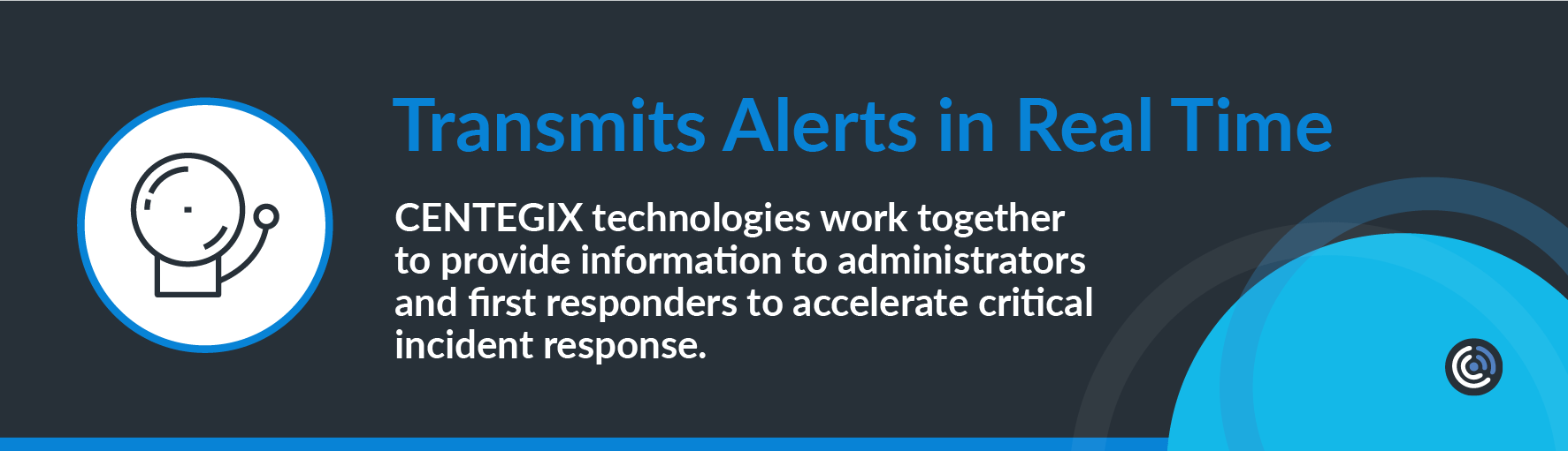
CENTEGIX technologies work together to provide information to administrators and first responders to accelerate critical incident response. Safety Blueprint and CrisisAlert combine to locate and display help alerts in real time. When a staff member initiates an alert on their CrisisAlert badge, administrators see their exact location on the Safety Blueprint map.
First responders access the Safety Blueprint map via desktop computers, tablets, or phones. As a result, they have all relevant information at their fingertips, including locations of safety assets and individuals needing assistance.
Safety Blueprint’s Dynamic Mapping: Up-to-the-Minute Data for First Responders
While other school safety solutions assist schools in producing maps, many of these maps are static. They may be PDFs and require schools to contact vendors for updates or new maps. However, CENTEGIX Safety Blueprint technology makes critical incident maps dynamic and easy to update.
Critical Incident Mapping Legislation
Increasingly, US states are passing legislation requiring schools to have critical incident mapping protocols in place. Currently, critical incident mapping technology funding is available in the following states: Florida, Texas, Wisconsin, Michigan, Virginia, Indiana, New Jersey, Illinois, and Maryland. More states will be requiring digital mapping technology soon.
CENTEGIX Safety Blueprint allows schools to comply with these laws and funding requirements. Many of these laws mandate that a digital map of every school be created and made available on first responders’ mobile devices. CENTEGIX Safety Platform technology and legislators seek to accomplish the same goals: accelerating critical incident response times and creating a culture of safety in schools.
Schedule a demo now to learn more about how to make CENTEGIX Safety Blueprint the foundation of safety in your district.