Precise location information separates a coordinated response from a chaotic one. Emergencies hinge on small details, and the seconds spent searching for the right room, floor, or safety device can determine the outcome. Digital mapping transforms raw location data into a live, shared view of an incident, giving every responder the clarity needed to act with confidence. Safety leaders across industries rely on critical incident mapping to replace uncertainty with coordinated action.
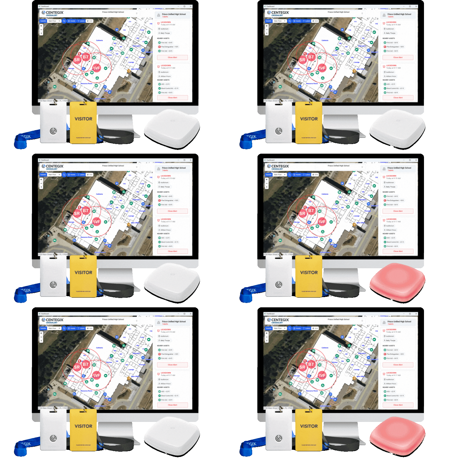
The CENTEGIX Safety Platform® unites wearable alerting, dynamic floor plans, and immediate notifications into one coordinated response system. Employees equipped with a CENTEGIX® wearable panic button can summon help to their precise location or initiate a campus-wide lockdown, while responders see exactly who needs assistance and where they are on a real-time map.

Digital Mapping Delivers Situational Awareness Across Industries
Schools, hospitals, clinics, courthouses, and county facilities face a common challenge: emergencies can occur anywhere on a campus, and responders need to reach the right location without delay. The Safety Platform applies digital mapping in different contexts to solve this problem, supporting facilities teams, safety directors, and onsite responders across very different environments.
Each scenario below shows how location clarity changes the trajectory of an incident, turning scattered information into immediate, actionable awareness for responding personnel.

K-12 Schools
K-12 schools face emergencies ranging from elopement and student altercations to medical events and overdoses. Consider an elopement scenario on a sprawling elementary campus. A student bolts from a classroom and heads toward the back of the property. A nearby teacher presses their badge, then another staff member down the hall does the same as the student passes. The response map plots each alert along the route, showing administrators in real time where the student is heading. Responders intercept at the property line because the map gave them directions, not guesswork.
Student altercations create a different challenge. A teacher witnesses two students fighting in a breezeway and signals for help. The school resource officer receives the alert with precise room-level location and arrives in a fraction of the time required by radio dispatch. Normandy Schools Collaborative reduced average response times from 6 minutes to roughly 1 minute and 20 seconds after implementing CENTEGIX technology, a difference that often determines whether a situation escalates or de-escalates.
Medical emergencies benefit equally. A school nurse responds to a suspected overdose within seconds because the alert displays both the location of the person in distress and the closest medical assets, including AEDs and overdose reversal kits. Schools that share alert data with leadership consistently report that everyday incidents account for the vast majority of badge usage, reinforcing that location-aware responses support daily operations rather than only extreme events. Independent school safety research confirms that faster responder access to incident locations correlates with better outcomes.
Healthcare Facilities
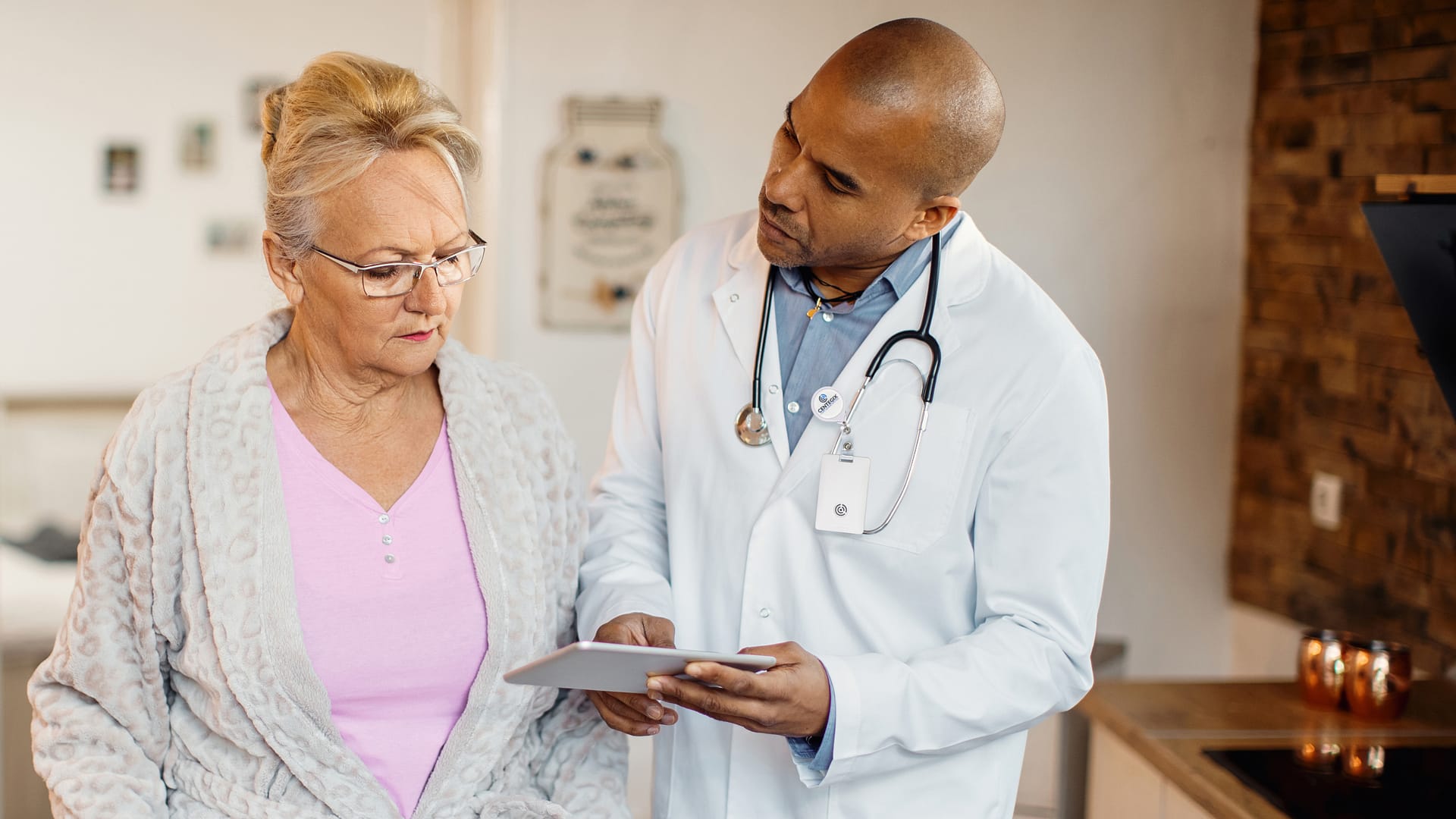
Healthcare environments present unique safety challenges, particularly the rising threat of workplace violence against clinical staff. The CDC documents that workplace violence in healthcare occurs at rates substantially higher than in other industries. Digital mapping plays a central role in giving responders the clarity they need to act quickly.
Picture a behavioral health unit where a patient becomes agitated and strikes a nurse, bloodying her nose. The nurse discreetly presses a wearable duress button. The response map immediately identifies the exact treatment room, and support personnel arrive within seconds with a first aid kit in hand. Vail Health Behavioral Health credits this kind of capability with stronger continuity of patient care, since clinicians can summon support without leaving a session in progress, as documented in the Vail Health case study. As Kala Bettis, Integrated Behavioral Health Supervisor at Vail Health Behavioral Health says, “The ability to have that additional sense of safety and security with CrisisAlert, it gives our staff such a sense of safety, protection, and consideration.”
A combative family visitor in an emergency department creates another familiar scenario. A nurse signals for help while continuing to de-escalate verbally. A designated responder pinpoints the location through the response map and arrives quickly to provide additional support, allowing the situation to be resolved safely.
After-hours scenarios extend the same protection beyond clinical spaces. A medical worker leaving the building witnesses an attempted robbery in a parking garage. Pressing the badge dispatches the precise location, including the garage level, to onsite security and local 911. Responders move directly to the scene rather than searching multiple decks. Real-world examples, like the Clark County School District incident, demonstrate how location clarity enables faster intervention regardless of where the emergency occurs.

Government Buildings
Government facilities serve diverse populations and frequently host the public, which raises safety considerations ranging from routine medical events to fires, behavioral incidents, and security threats. Digital mapping helps administrators, security teams, and first responders coordinate across these varied risks.
Consider a fire in a county administrative building. A small electrical fire ignites in a storage closet. Administrative staff press the badge, view the response map, and locate the nearest fire extinguisher on the same floor within seconds. The asset layer of the response map eliminates the need to search hallways, which would otherwise consume precious minutes.
Cardiac events represent another common scenario. A visitor in a courthouse lobby collapses from sudden cardiac arrest. The nearest staff member alerts the response team. A trained responder grabs the closest AED, identified on the map by exact location and current inspection status, and reaches the visitor before EMS arrives.
Detention facilities present additional considerations. The Hillsborough County Sheriff’s Office adopted CENTEGIX badges so detention deputies could summon help if radio communication failed. A deputy pressing the badge transmits the floor-level location to backup immediately, including which housing area or corridor.
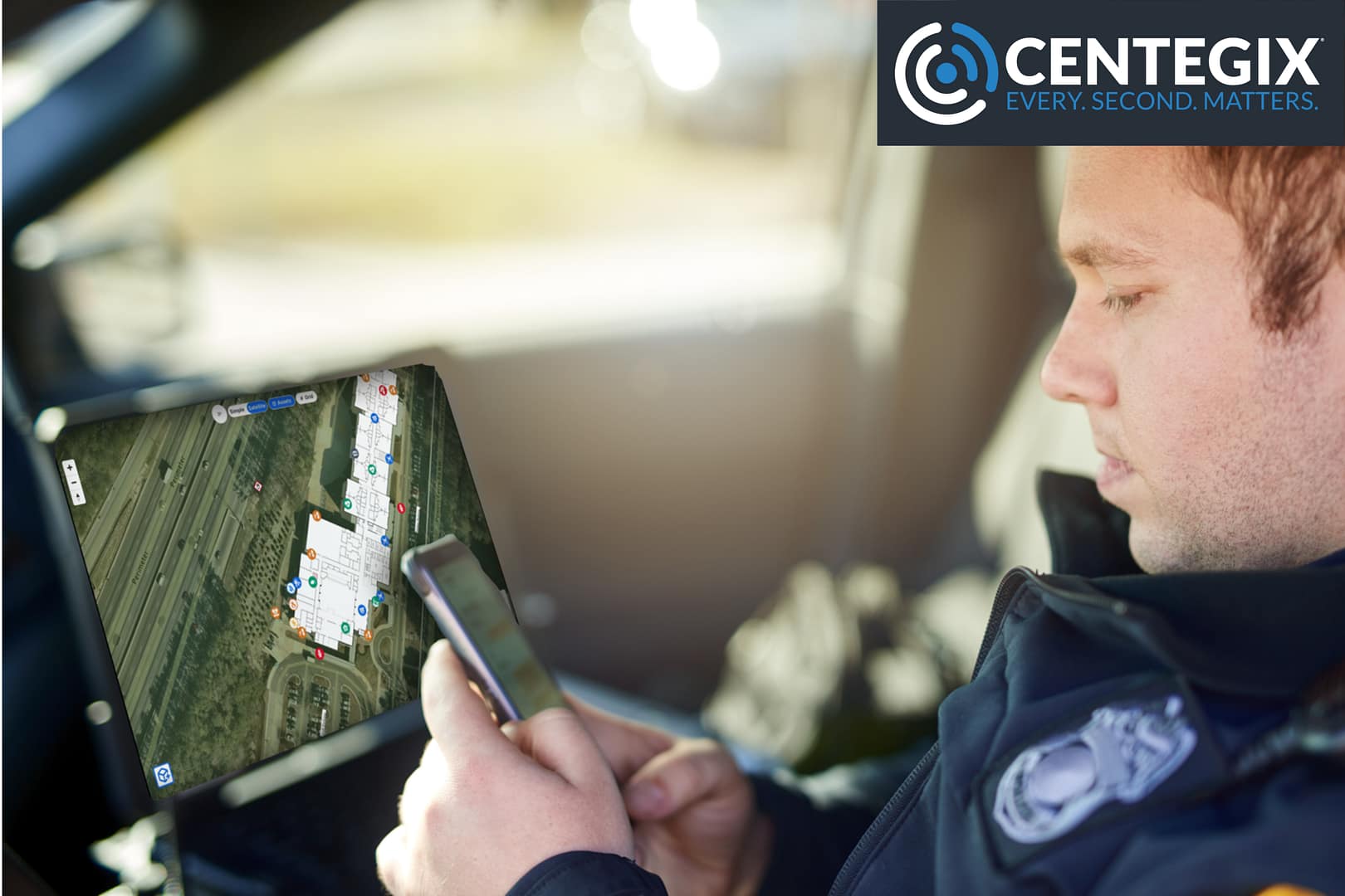
Erratic behavior in public-facing buildings calls for fast eyes on the scene. A visitor begins acting unpredictably in a county office lobby, and the closest staff member presses the badge to request help. The security director sees the staff member’s location on the response map, and nearby cameras stream live video to onsite responders and law enforcement, creating shared situational awareness before anyone arrives at the scene. Asset visibility through digital mapping enables security directors and law enforcement to coordinate more effectively, even across complex multi-building campuses.
Speed and Clarity Eliminate Delays and Confusion
Two principles drive effective emergency response: speed and clarity. Speed means identifying, notifying, and responding without delay. Clarity means everyone involved knows what is happening and where it is happening, immediately. The CENTEGIX Safety Platform delivers multisensory notifications through strobes, screen takeovers, and intercoms, and places precise location data in the hands of every responder.
Digital mapping is the connective tissue that makes both pillars possible. A wearable button initiates the alert, the network carries it without delay, and the digital map delivers the clarity needed to act. Safety leaders across K-12 schools, healthcare campuses, and government buildings benefit from the same outcome: chaos replaced by coordination, gaps closed, and confusion eliminated. Seconds matter in an emergency, and every second saved through immediate location clarity translates into a better outcome for the people who depend on a fast, informed response.
See How Clarity Transforms Response
Discover how the CENTEGIX Safety Platform brings together digital mapping, wearable alerting, and real-time notifications into a coordinated response system. Safety leaders evaluating their next step toward faster, clearer emergency response can explore the Safety Platform to learn how the pieces work together across schools, healthcare campuses, and government facilities, helping every responder act with the location clarity that emergencies demand.